3 Steps To Geotag Photos With GPX Track Logs In Lightroom
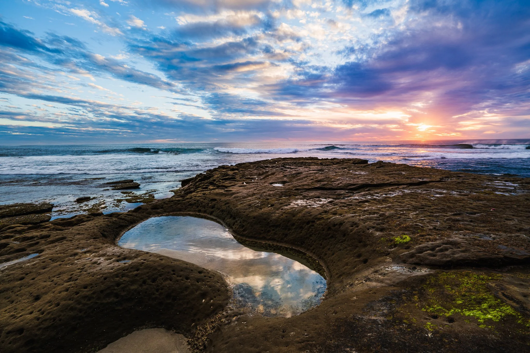
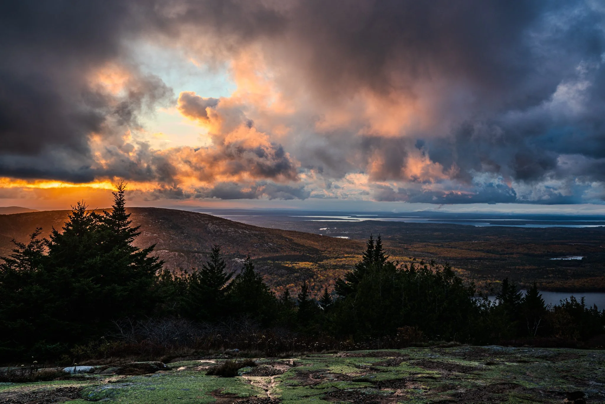
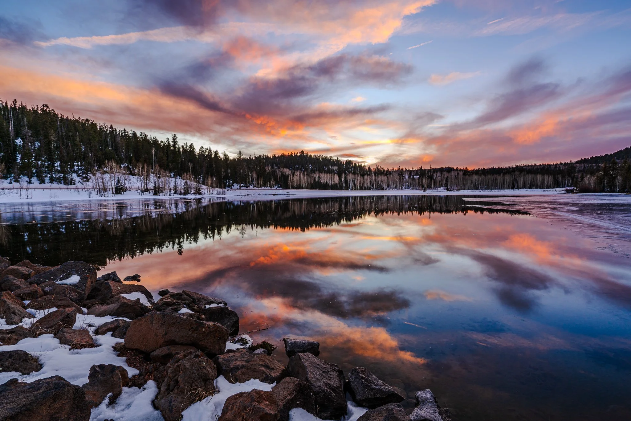
I always geotag my photos. I hate looking at a photo, be it professional or personal and having to ask myself "Where was that taken?" But what if you don’t have a GPS-enabled camera? Last week I did a review of Geotag Photos Pro 2, my app of choice for tracking my location during a landscape shoot.
If you’ve got a GPS tracker or a smart phone app, you can create a GPX track log while out on a shoot. Back in the studio, it’s just a few short clicks in Lightroom’s Map module to pair your photos with the track log and automatically geotag your shots. Here's a short video on the process. I've got some screen shots below with the overview of the steps, too.
Once you have your GPX track log on your computer, jump into Lightroom's Map module. In a few clicks, you'll be all done.
Load the track log
Do this with Map > Tracklog > Load Tracklog. You can also use the track log icon in the map toolbar to load the tracklog. For multi-day trips, I wait until the trip is over and select All Tracks to tag all photos at once.
Map > Tracklog > Load Tracklog
Select the GPX track log
GPX track log loaded
Select the photos to auto-tag
For me, I'm usually tagging all the photos from a trip, so I'll do a Cmd-A (Ctrl-A on a PC) to select all the photos.
Auto-tag the selected photos
Choose Map > Tracking > Auto-Tag Photos to pair up the selected photos with the track log. You can also use the track log icon in the map toolbar to do the pairing.
Auto-tag selected photos
Photos are paired with the track log and geotagged automatically